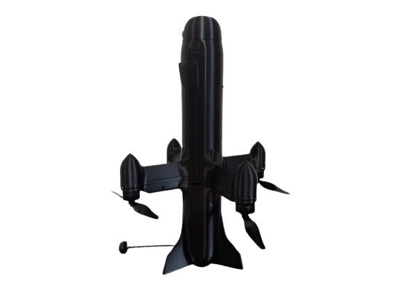
FALCONE 600 is a specialized high-speed unmanned aerial platform designed for rapid response missions, advanced aerial surveying, and time-critical inspection tasks. It is engineered for fast detection, tracking, and observation of aerial or ground objects, providing enhanced capabilities for monitoring controlled airspace and critical infrastructure.
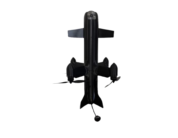
With a maximum speed of up to 340 km/h, the FALCONE 600 is capable of quickly reaching fast-moving targets or areas of interest, including other UAVs used in research, mapping, or testing scenarios. Its flight endurance of up to 25 minutes allows sufficient time for target acquisition, tracking, and data collection within an operational radius of up to 25 km, making it suitable for both point inspection and wide-area observation missions.
The system is purpose-built for advanced UAV applications and can be equipped with a range of high-precision sensors and guidance systems. Depending on mission requirements, this may include electro-optical sensors, infrared cameras, or radar-based tracking systems, enabling effective operation in both day and night conditions, as well as in low-visibility environments. Its high response speed significantly reduces the time between detection and data acquisition.
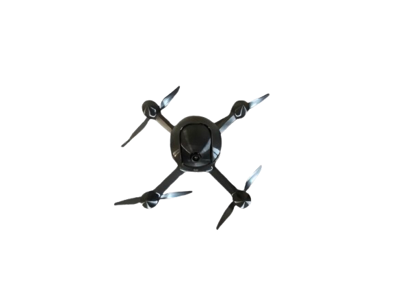
The FALCONE 600 features a modular design that allows configuration based on specific operational needs. This includes variations in payload, sensor suites, communication systems, and onboard equipment. The platform supports different data collection approaches, depending on the requirements of aerial surveying, research, or inspection tasks.
Designed for rapid deployment, the FALCONE 600 can operate as a standalone UAV or as part of an integrated monitoring and data collection system. It supports both autonomous and operator-controlled modes, ensuring flexibility in complex and dynamic operational environments.
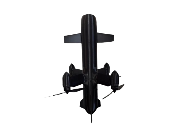
FALCONE 600 represents a modern, adaptable solution for high-speed aerial operations, combining speed, precision, and configurability to meet the demands of contemporary aerial surveying, infrastructure monitoring, and research missions.